Data
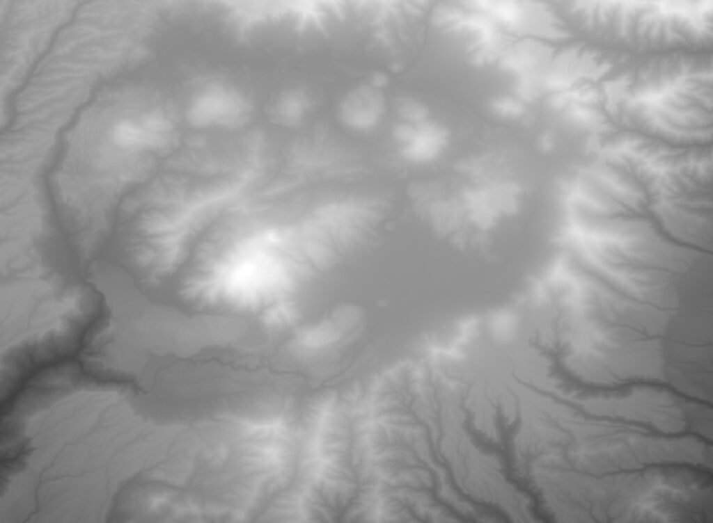
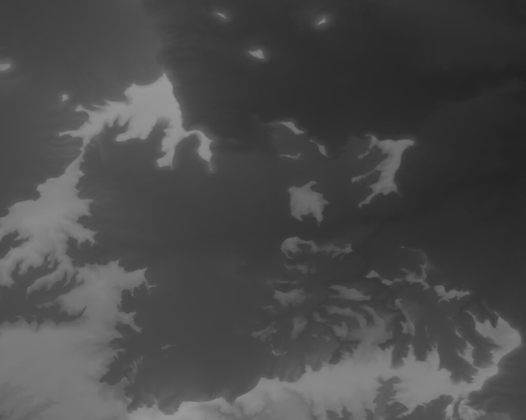
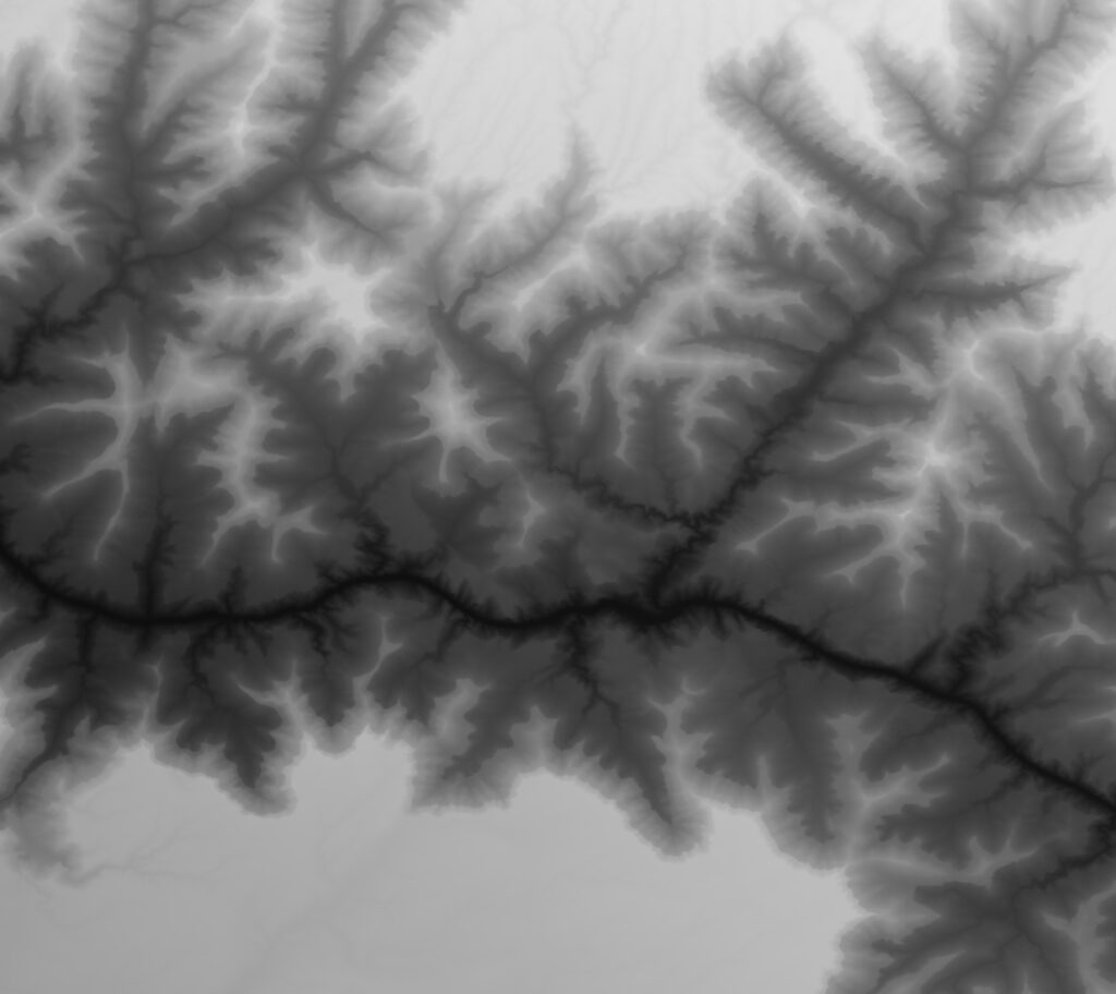
I chose to use elevation data from the USGS site: https://apps.nationalmap.gov/downloader/. I decided to print the topographic maps of three locations, the Valles Caldera, Monument Valley, and a section of the Grand Canyon. I got the GeoTIFFs (image that represents map elevation data) from USGS and then used QGIS to zoom in on particular areas of interest and convert them to bitmaps. Below are the bitmaps:
Design Process
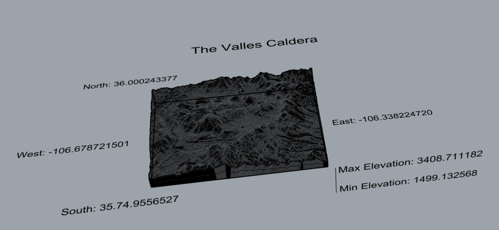
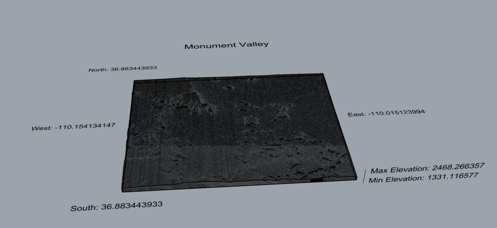
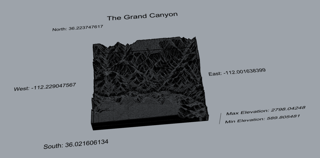
Each pixel in the bitmap represents the elevation of that unit of area where black represents lower and white represents higher elevation. As we learned in class, we can use the bitmap to gather the elevation data and represent it in a 3D format. I followed the same process as in class. I dealt with some issues of lagging time and on occasion if there was something wrong in the code it would crash Rhino. When that happened things wouldn’t have always saved beforehand so I would have to repeat whatever I had already done. Overall, I think the process went well. Below are images of the Rhino renderings. They also show the scale and units of the three maps. The elevation is in meters.
Final prints
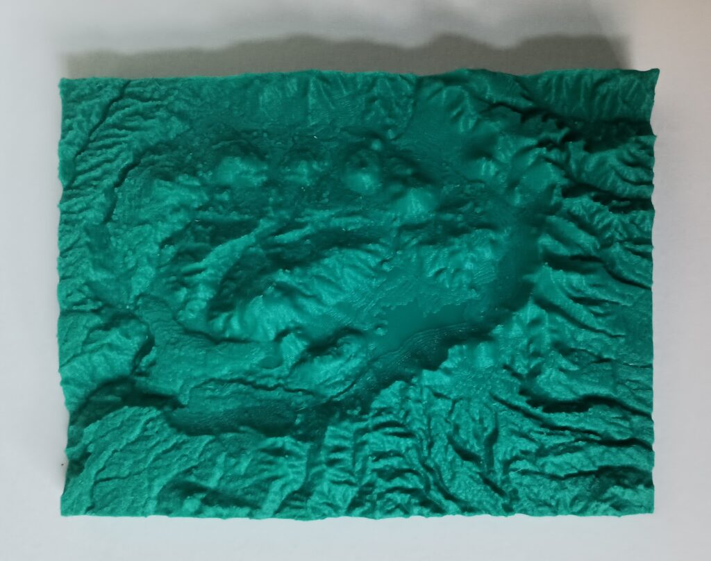
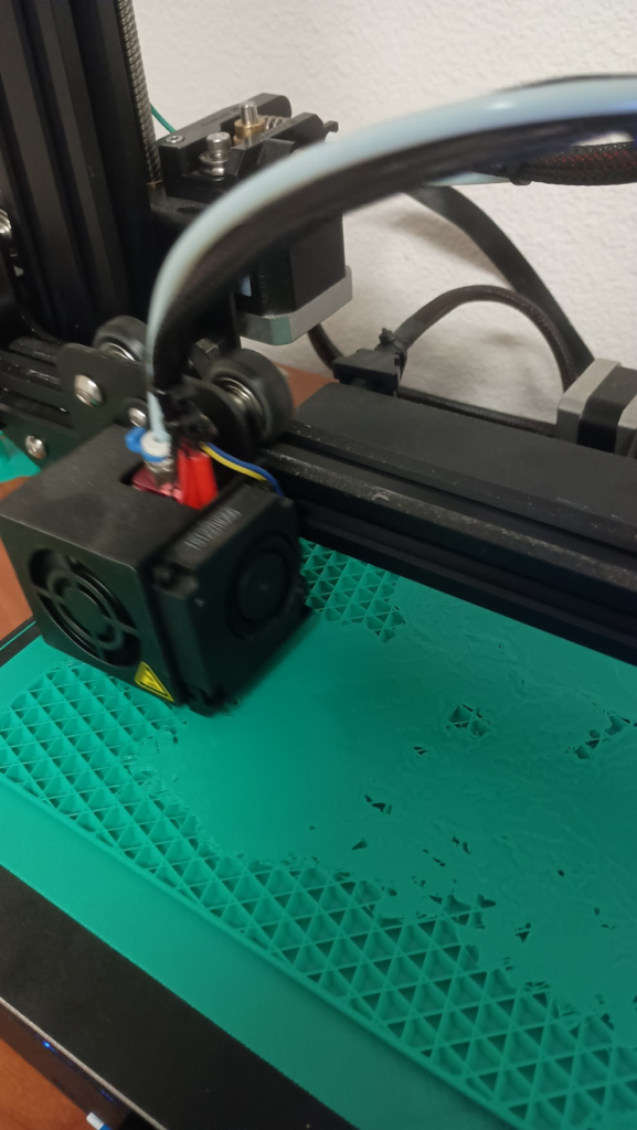
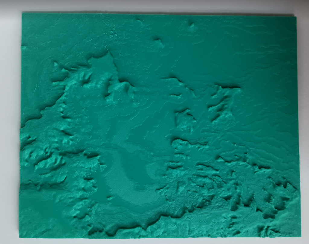
The prints took much longer than I expected them to take. I had no major issues. I do think that when I was printing Monument Valley that my bed was not quite level, but it only effected the raft and not my actual print. Although, as a result there is a bit of the raft that I cannot seem to get off of the bed.
The Valles Caldera took about 11 hrs to print.
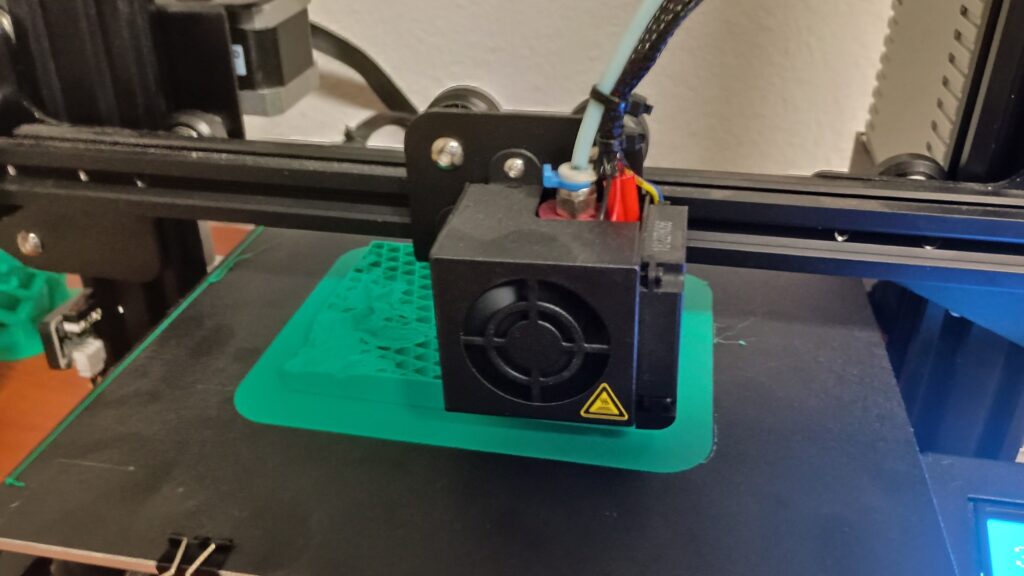
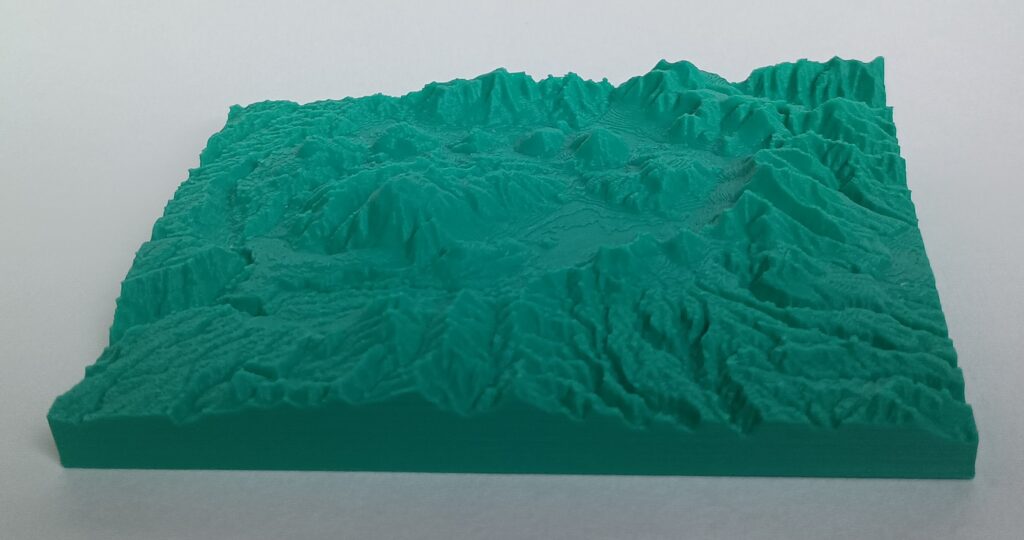
Monument Valley took about 14.5 hrs to print.
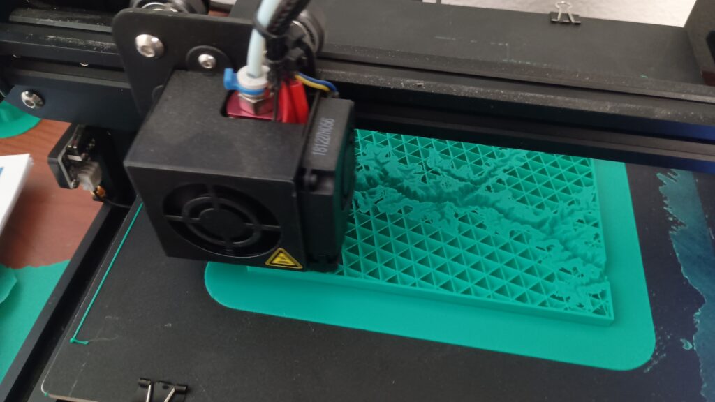
The section of the Grand Canyon took about 16 hrs to print.
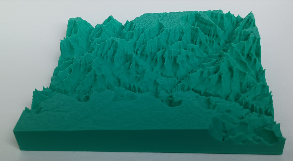
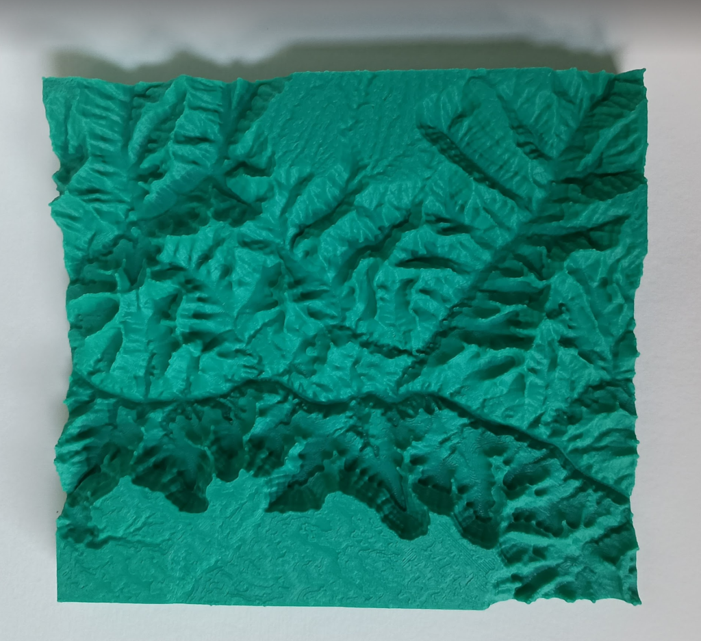
Reflection
3D representations can transform data into tangible forms which makes complex information easier to understand. 3D printing elevation data in particular allows you to appreciate the scale, depth, and the spacial relationships between features in a different way that might otherwise be lost in 2D representations. I really enjoyed representing these locations with a topographical map. After the groundwork is layed out for representing the data, any set of elevation data can be represented in 3D.
Hi, these topographic maps are so cool! Its amazing how detailed they can get with the 3d printer. I think it gives an excellent idea of how these regions look and also gives a sense of scale. Part of me wishes I had chosen a dataset that would be more applicable for this type of design as I just really love the way the topographic maps look in general. Overall, great project!
Thank you! Part of the reason I chose to do the topographic maps was so that I could see how detailed the printer would get with them. I was happy with the results. Do you think you will take the opportunity to print a map at some point even if it is not part of a specific project assignment?
Hi Elektra,
The level of detail in your prints are amazing! I never expected bitmaps to be able to produce highly-detailed topological models like yours. I know they can be great for video game image assets as well. Maybe that’s why game engines integrate with them so well. Awesome models!
Thank you! I was surprised with the level of detail that the bitmaps produced as well as the printers ability to capture that. I didn’t think about their use in video games but that is a good point!