So far, we have found a valid way to transform the county-level population data for physicalizing. Our method can pertain the details of difference in small population counties, and also reflect the huge gap between larger population counties and smaller population counties. We also find ways to generate the 3D file in Rihno for county maps of each state such that the physicalizing can be done properly in the 3D printer.
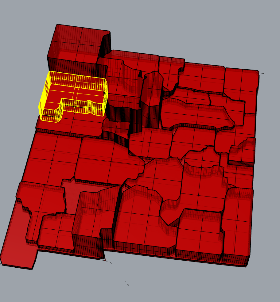
Here is a screen shot of the state of new Mexico 3D file in Rhino.

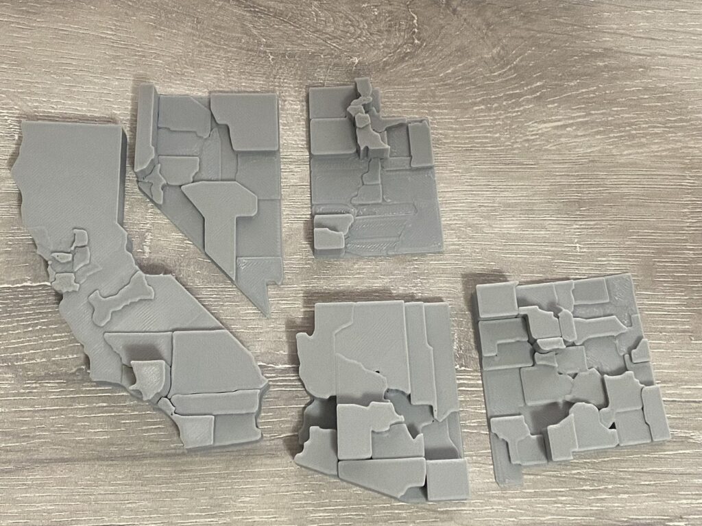
We have already printed several states model in southwest of US, and they can form a map like a puzzle game perfectly.

Timeline: Nov/27 – Dec/01; finish the west states model printing
Dec/04 – Dec/08; printing at least all states in west and middle and put everything together; we may fail to print all the states in US, since there are some very small states in the east coast, some states contain way too much county than expectation, our Rihno code needs some manual operations that will discourage generating state model with too many counties or state that is too small.
Hi Jingbo and Lin,
Your design looks great so far! Its really interesting to see the odd shapes of some of the counties. The states look like they fit together pretty nicely too, it will be cool to see more states put together.